New maps installed on the Railpath
January 22, 2010 - 11:55am — vic
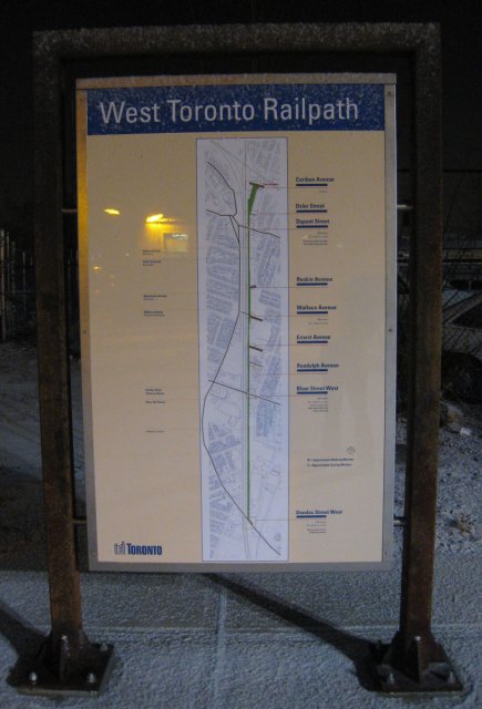
 New Railpath Maps: Cariboo Ave. Entrance
Note: This item was also posted on I Bike T.O.
Out for a walk a few nights ago, we noticed that new maps have been installed at each end of the West Toronto Railpath. Now we know what those metal frames were for.
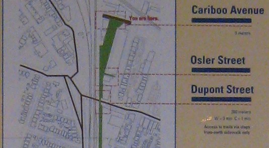
The maps are a nice addition to the path. They include various bits of useful information:
- A complete map of the entire path and immediate surrounding area
- All cross-streets are labeled, and a note whether there is an access point or not
- Cumulative distance markers, starting from Cariboo Ave.
- Estimated travel times for walking and cycling
- A few major landmarks and other features
It's great to see the path/park continue to evolve and improve. It has been very well-used, even over the winter, so I hope the expansion plans come to fruition soon!
 New Railpath Maps: Cariboo Ave. Entrance, closeup
Apologies for the poor-quality photos. I didn't have my good camera with me, but I still wanted to snap some pics before the signs got covered in tags!